EXPORE OUR SERVICES

We offer cutting edge services that combat climate change, environmental degradation, and the loss of biodiversity through innovative GIS, remote sensing, software development, and environmental science.
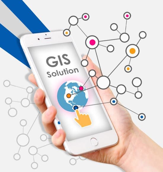
GIS Mapping and Analysis: Utilizing Geographic Information Systems (GIS) to map, analyze, and visualize spatial data, providing valuable insights for decision-making processes across various industries.
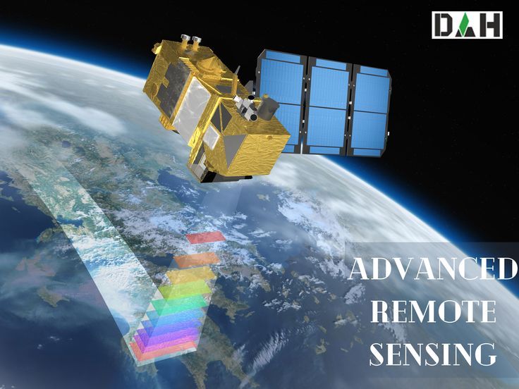
Remote Sensing Services: Leveraging satellite and aerial imagery to gather information about the Earth’s surface, enabling detailed analysis for environmental monitoring, resource management, and more.
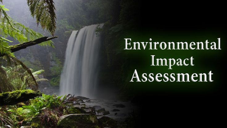
Environmental and Social Impact Assessments (ESIAs): Conduct thorough assessments to evaluate the potential environmental consequences of proposed projects, ensuring compliance with regulatory requirements and sustainable practices.

Nature-Based Solutions Implementation: Designing and implementing nature-based solutions that harness the power of ecosystems to address environmental challenges such as climate change mitigation, biodiversity conservation, and natural resource management.
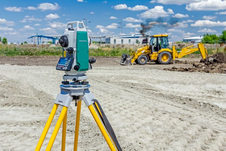
Geospatial Data Collection and Surveying: Conducting precise data collection and surveying using advanced technologies such as GPS, drones, and terrestrial surveying equipment, facilitating accurate spatial data acquisition for various applications.
Spatial Data Analysis and Modeling: Conducting advanced spatial analysis and modeling techniques to derive meaningful insights from complex datasets, supporting evidence-based decision-making and scenario planning.

Training and Capacity Building: Offering training programs and workshops to enhance the skills and knowledge of professionals in GIS, remote sensing, environmental science, and related disciplines, empowering them to tackle complex spatial challenges.

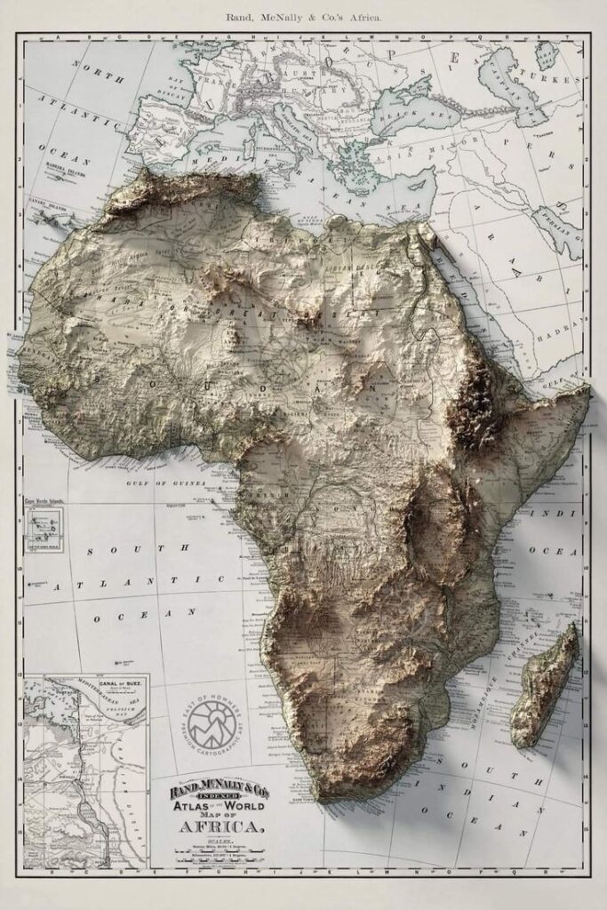
Cartography and Geovisualization: Creating visually engaging and informative maps and geovisualizations to effectively communicate spatial data, facilitating better understanding and decision-making for stakeholders.
Software Development for Geospatial Applications: Developing custom software solutions tailored to the specific needs of clients in the geospatial domain, enhancing efficiency, and effectiveness in data management, analysis, and visualization.
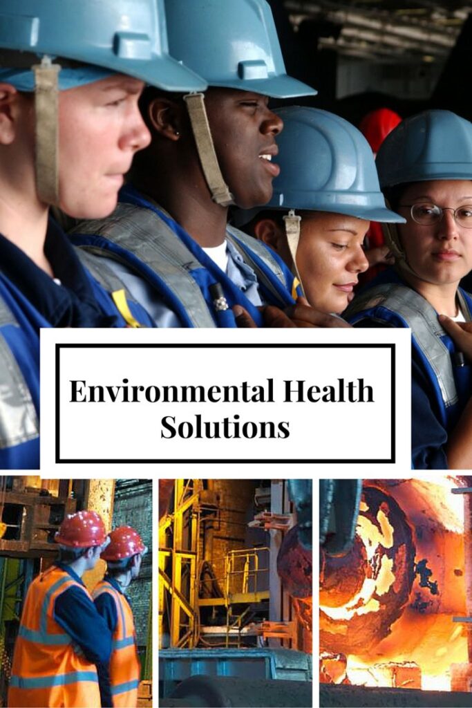
Environmental Health and Safety (EHS) Consulting: Providing expert consultation and guidance on environmental health and safety matters, including regulatory compliance, risk assessment, and pollution prevention strategies

MAPPING FOR THE FUTURE
WELCOME
Spatial Science how can we assist?
