SPATIAL SCIENCE INTERNATIONAL : we harness technology as a potent force for positive change, emphasizing sustainability and the protection of ecosystems.
WELCOME TO SPATIAL SCIENCE INTERNATIONAL LET US MAP THE FUTURE
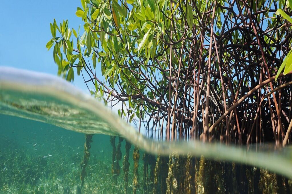
OUR COMPANY MISSION IS TO : Combat climate change, environmental degradation, and the loss of biodiversity
OUR CORE SERVICES

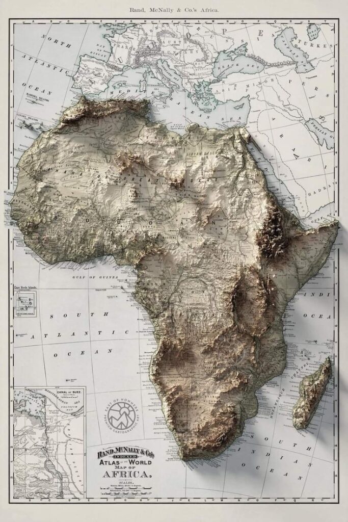
Remote Sensing Services: Leveraging satellite and aerial imagery to gather information about the Earth’s surface, enabling detailed analysis for environmental monitoring, resource management, and more.
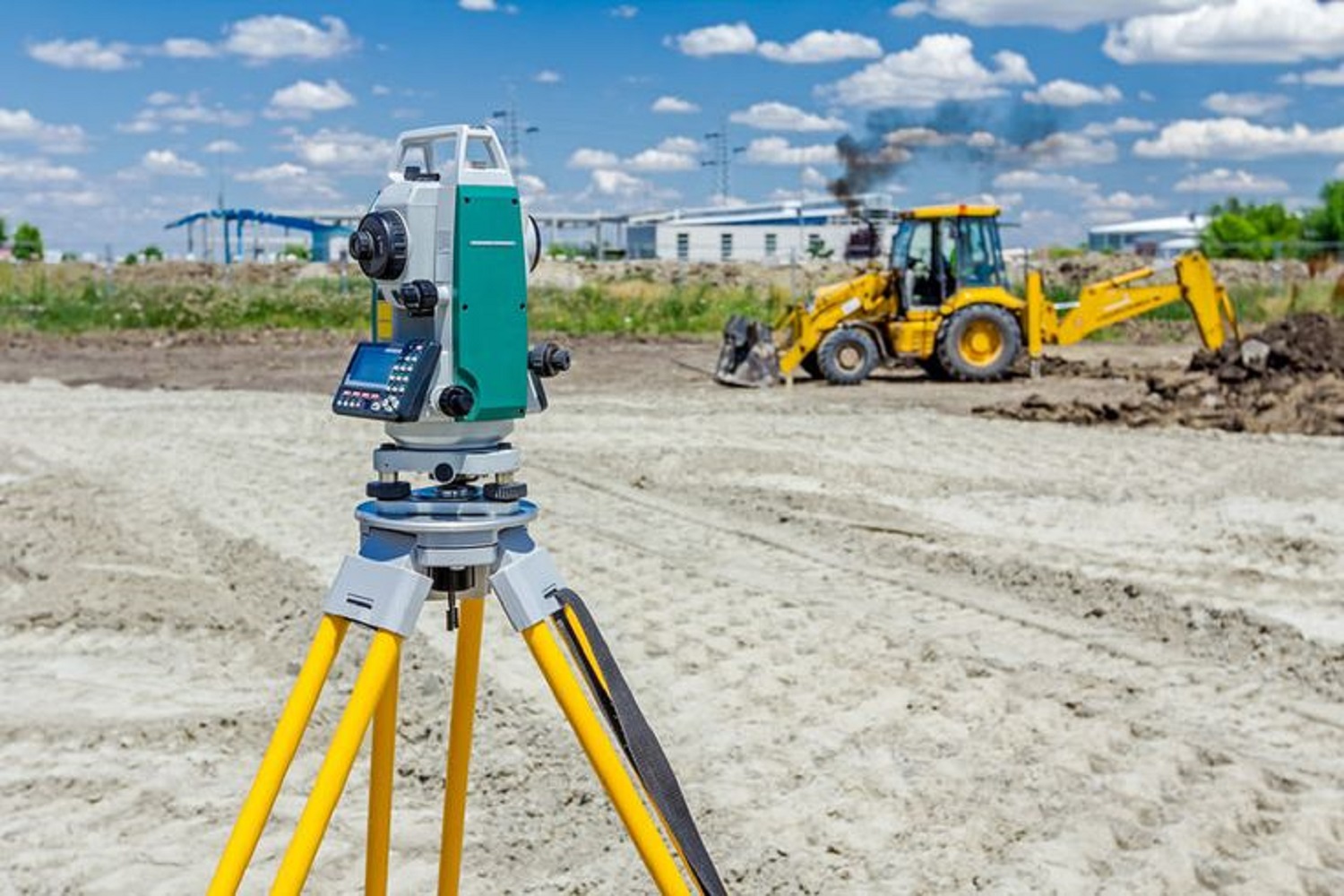
GIS Mapping and Analysis: Utilizing Geographic Information Systems (GIS) to map, analyze, and visualize spatial data, providing valuable insights for decision-making processes across various industries.
Environmental and Social Impact Assessments (ESIAs): Conduct thorough assessments to evaluate the potential environmental consequences of proposed projects, ensuring compliance with regulatory requirements and sustainable practices.
Software Development for Geospatial Applications: Developing custom software solutions tailored to the specific needs of clients in the geospatial domain, enhancing efficiency, and effectiveness in data management, analysis, and visualization.

Aiming to become global leader at the forefront of environmental innovation, pioneering cutting-edge GIS, remote sensing, software development, and environmental science solutions.
WELCOME
Spatial Science how can we assist?


